SPWRAP Water Operations
In general, the State takes primary responsibility for meeting Colorado’s direct financial obligations to PRRIP, and SPWRAP takes responsibility for meeting South Platte River flow re-timing obligations as well as the obligations to collect and report to PRRIP data concerning population growth, patterns of water use and documentation of its flow re-timing efforts.
Water obligations established by the Program
Colorado has differing flow re-timing obligations for depletions that pre-dated the initial PRRIP agreement in 1997 and those that began following that date:
Tamarack I – This managed groundwater recharge plan programmatically addresses the effect of all existing depletions in Colorado as of 1997 by retiming water from periods of excess river flows to times of shortages in order to reduce shortages to Program targets by an average of 10,000 acre-feet per year.
Tamarack II – This managed groundwater recharge plan programmatically addresses the effect of post-1997 depletions through Colorado’s Plan for Future Depletions (CPFD), which offsets the net cumulative depletive effect of those activities based on a population-indexed approach. CPFD covers up to an average annual cap of 98,010 acre-feet of depletions from new native water development and new water reuse/exchange sources between February and July each year.
SPWRAP’s dedicated and leased recharge projects
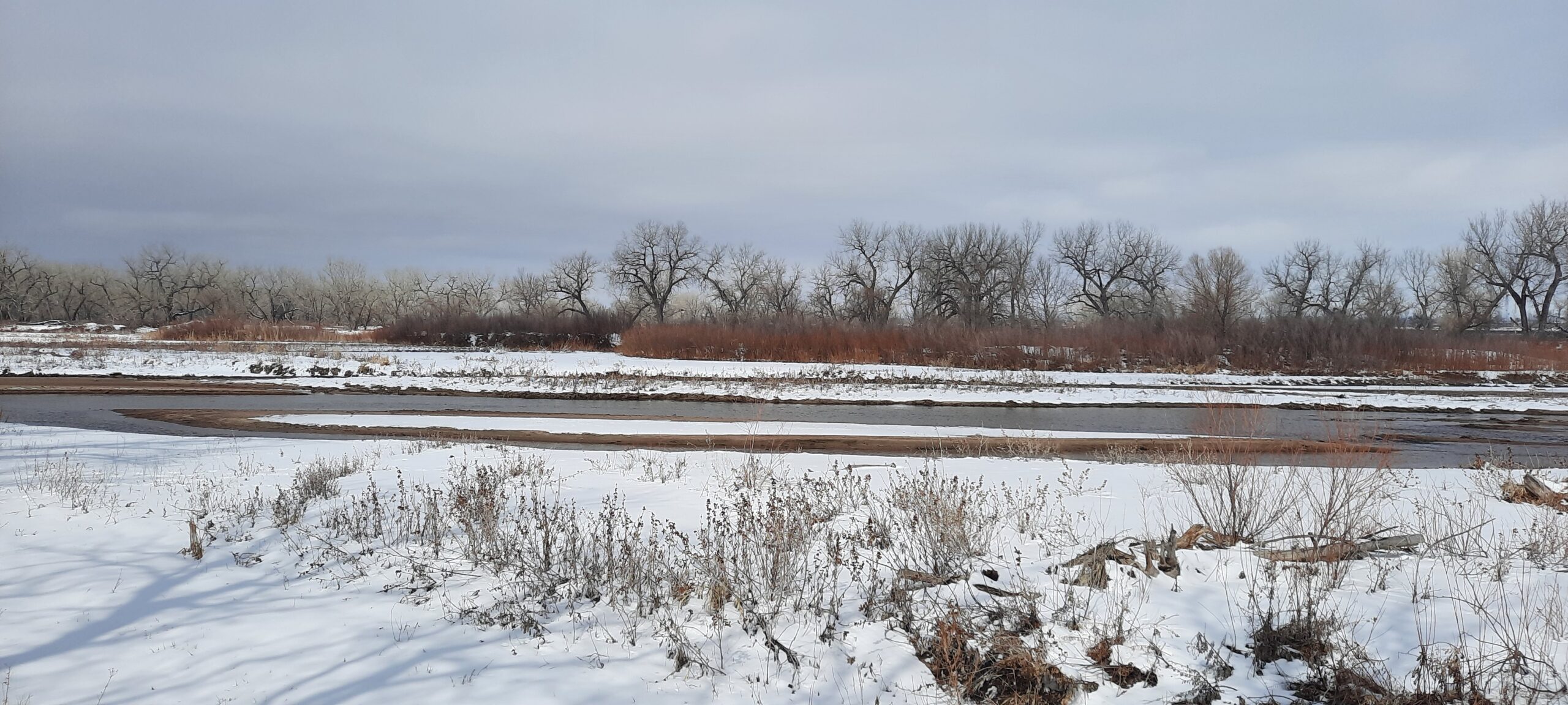
Colorado meets its water obligations using alluvial groundwater recharge projects which divert water from the South Platte River during times of excess to recharge ponds for re-timing to periods of shortage to Program flow targets. The timing (determined via groundwater modeling) of the lagged accretion flows returning to the river can be controlled by the distance of the recharge pits from the river and the time of year during which they are used. SPWRAP has dedicated and leased recharge projects through which it develops recharge accretions at times they are needed for Program purposes. These include:
The Tamarack Ranch State Wildlife Area Recharge Project owned by Colorado Parks & Wildlife (CPW) currently consists of 16 recharge wells next to the South Platte River, 8 miles of pipeline and eight recharge ponds which provide seasonal habitat for waterfowl, a benefit to CPW goals (separate from the Program’s habitat creation and protection goals in Nebraska), as well as creating recharge accretion credits in the river for both SPWRAP and CPW. SPWRAP is currently working to expand the benefit of this project to members by constructing an additional well and several recharge ponds, as allowed by the water court decree for this project. This project is expected to be underway in 2023 and operational by 2024.
The Heyborne Recharge Project is located immediately west of Julesburg and a short distance downstream of the Tamarack Ranch SWA project. This is a dedicated SPWRAP recharge project consisting of three recharge pond supplied by a floating pump located on a side-channel of the South Platte. This project also supplies recharge accretion credits and winter waterfowl habitat in the area.
SPWRAP also leases excess recharge accretion credits from 16 recharge/augmentation plans in Water District 64 (i.e., downstream of the Prewitt Reservoir inlet in the lower South Platte River Basin) in Colorado. These augmentation plans are primarily operated to augment irrigation wells operated by plan owners. Often, these plans develop excess recharge accretion credits at times that are beneficial to SPWRAP, so the credits are leased to augment the deliveries from SPWRAP’s dedicated projects.
Check out our map of Water District 64 showing the locations of the dedicated and leased recharge projects.